Flying in the Florida Keys
I fly my plane south from Naples on a regular basis to the Florida Keys. The flight goes over Marco Island and then skirts the remote Everglades for over 50 miles before reaching Florida Bay and then the Keys. Sometimes I wonder if my engine stopped would I rather be over the Gulf of Mexico or over the Everglades? Unless it’s really rough or cold out, I’d choose the Gulf where I can safely ditch the plane without trees, swamps or crocodiles to swallow me! We have a good life raft and a beacon that should result in a quick rescue, but are prepared if not.
Once you reach the Keys a beautiful panorama of islands awaits you with clear blue water in-between them. I usually land in Marathon, or I go to Key West which guests like and where we have marina jobs to tend (my business as an Ocean Engineer).
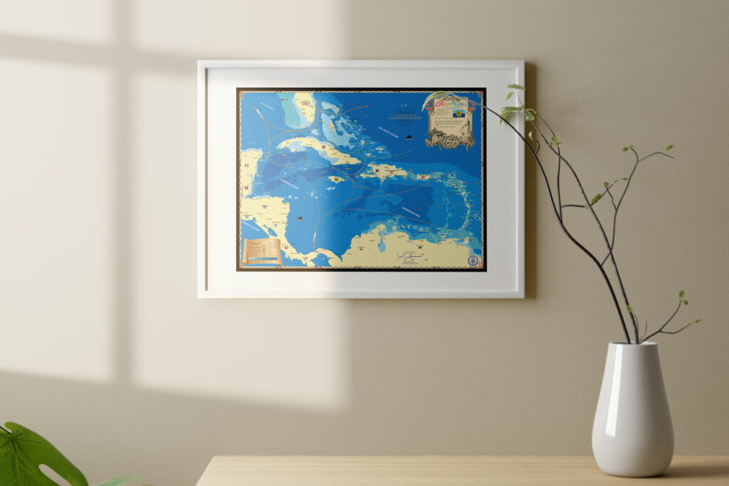
Our company, Island Map Publishing, makes a lovely wall map of the Florida Keys from Key Largo to Key West along with 10 area maps including the Marquesas and Dry Tortugas Island groups, which are too far west to show. The area maps are also featured in our book The Florida Keys – A History Through Maps. The book includes an incredible collection of antique maps along with simple descriptions of what they show so everyone can enjoy.
We’re proud to have produced a series of colorful maps of the Keys for wall display along with a great book, which makes learning about fascinating Keys history fun!


