Mapping the Florida Keys
 Creating maps of the Florida Keys opened my eyes to what a vast place it really is considering all the islands, reefs, waterways, lighthouses and the powerful Gulfstream defining its southern border. I visited the Keys as a kid with my museum prone parents, then in my teens diving, fishing and misbehaving with friends in Key West. Sometimes I’d fly the plane down and other times we’d trailer my small boat with an 85hp Evenrude for trips, fishing and diving. Our fishing trips were sometimes epic for high school boys; hooking up sailfish, dolphin (fish), wahoo, cobia and even a blue marlin once that shocked us by spooling all the reel’s line while jumping into the air on the horizon. All we did was annoy it.
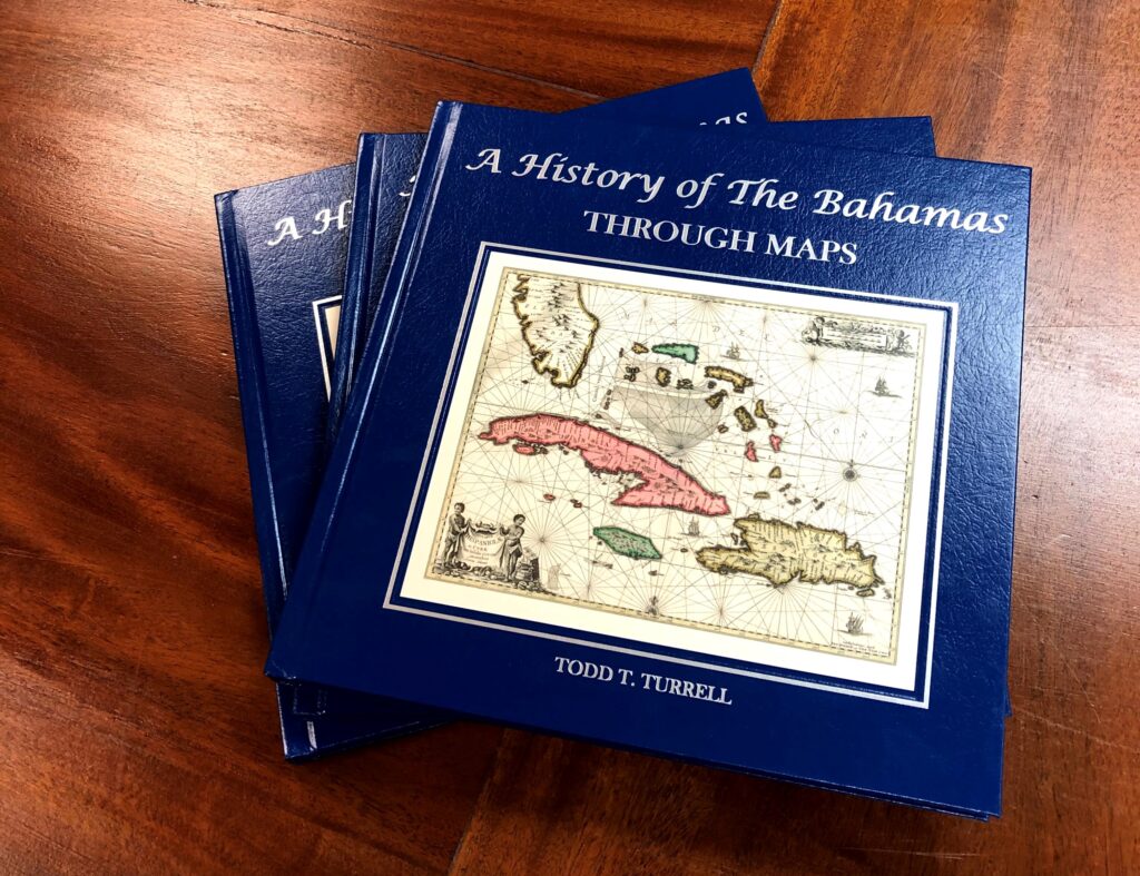
Later in life I began to enjoy museums in the Keys, some remembered from childhood with my mom and dad. Now I’m a fossil myself and have published books on the history of Naples, where I live, the Bahamas, where I worked for years, and more recently the Keys. My books include antique maps I mostly own except for the incredible maps in the Keys book. Those maps belong to my friend and co-author who has a world class map collection. He’s also an expert on the Keys where he grew up, I wouldn’t have attempted the book otherwise. With his help ‘The Florida Keys – A History Through Maps’ turned out exceptional. They’re now sold in nice shops and several Keys museums, which makes us very proud.
Floridians flock to the Keys every weekend. It’s a great getaway with clear water, great boating, seafood restaurants, waterfront bars and lots of good museums of course. I think most Americans should drive down A1A (now Jimmy Buffet Memorial Hwy) to Key West at least once. Jimmy said it’s not really Margaritaville but try to convince the people out on a Friday in Key West of that!
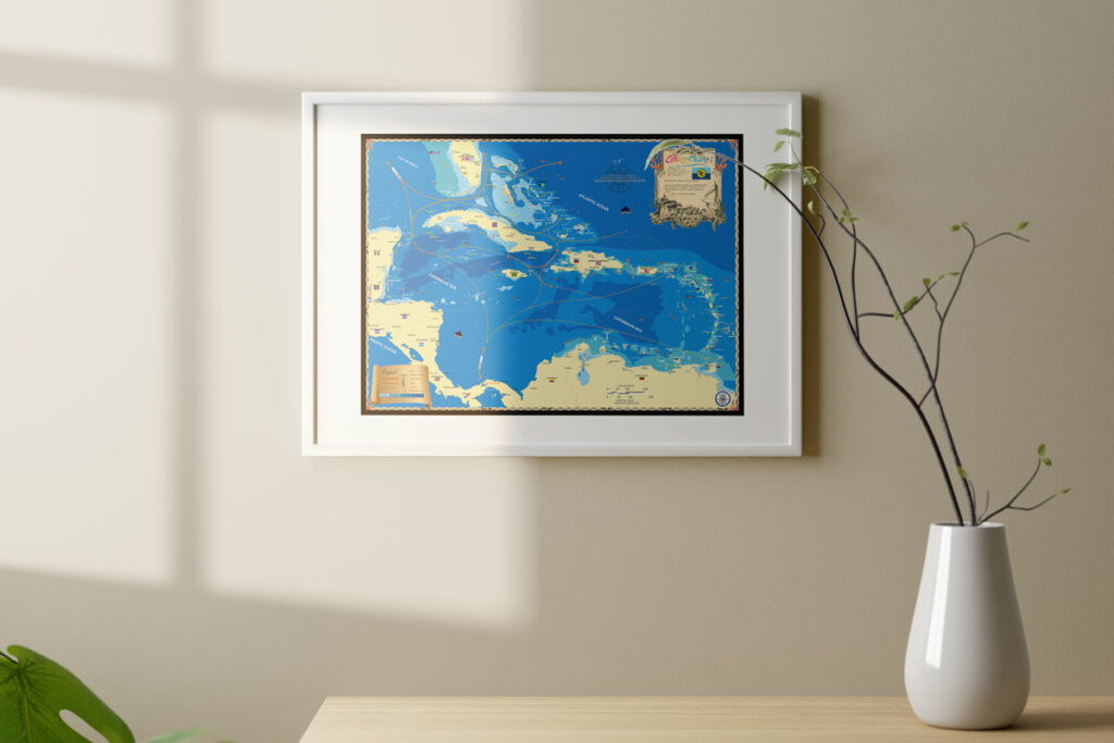
Island Map Publishing makes a lovely Keys map produced on canvas in both color and in antique hues, the latter with sea creatures copied from antique maps we own, hundreds of years old. Since the Keys archipelago is nearly 200 miles from the Dry Tortugas to Ocean Reef on north Key Largo, we also made 10 area maps listed below.
Keys area wall maps include North Key Largo & Ocean Reef Club, Key Largo, Plantation Key to Islamorada, Lower Matecume to Long Key, Marathon, Bahia Honda to Cudjoe Key (including Big Pine Key), Sugarloaf Key to Stock Island, Key West, The Marquesas, The Dry Tortugas & Fort Jefferson.
