The Making of The Bahamas Map
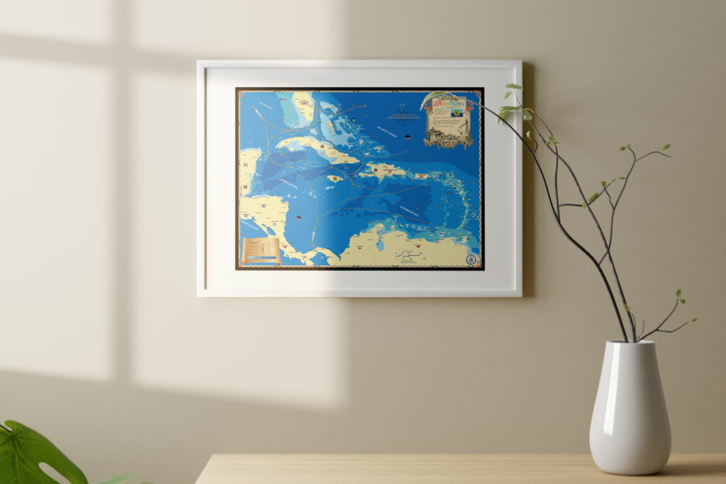
I created a map of The Bahamas in 2002 and it has improved ever since. The map is made to be an attractive and informative wall display and is not for navigation or other purposes. I collect antique maps, a hobby that even hundreds of years ago people would collect and display as a sign of wealth and knowledge. It’s been rewarding to recreate such maps for modern times.
The Bahamas map and others we now produce are made combining elements from many different sources. We strive for accuracy and in most cases I physically visit the area of the map we’re making. Local knowledge is important and it’s best earned by going there!
Our map of The Bahamas is displayed in airports, businesses, homes and resorts throughout the U.S. and The Bahamas. It’s on the walls of many yachts and cruise ships and I’ve even seen it hanging in the office of the Bahamian Prime Minister! The U.S. Embassy and Navy in Nassau have framed copies and it’s displayed at U.S. Customs in Naples and in Bahamian Customs offices on several different islands.
Our company Island Map Publishing sells The Bahamas map at boat shows and online here, it makes a wonderful gift for island lovers. We now produce over a hundred maps that include the Bahamas, Caribbean, Florida and the entire eastern seaboard of the U.S.
For more information about our maps please call 239-963-3497 or visit our site. We also offer custom options and can work with you to find the best option for your space!


