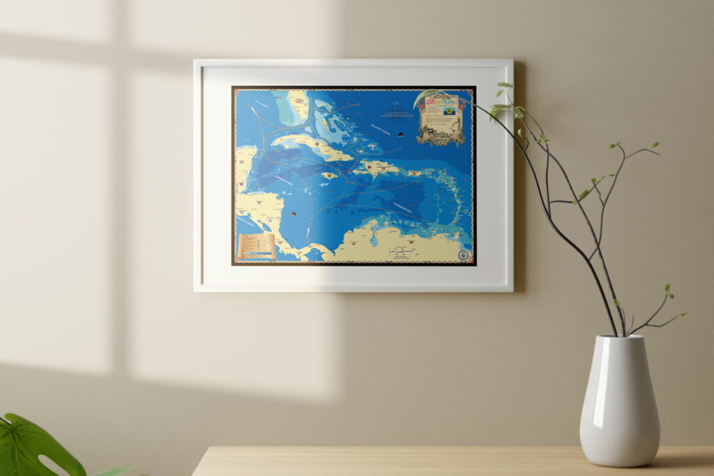
There’s a unique group of Islands in the southern Caribbean known as the ABC islands; Aruba, Bonaire and Curaçao. They’re featured in our detailed nautical map of the Caribbean that you can check out. They’re three of the most southern islands in the Caribbean making up the western end of the Leeward Antilles off the coast of Venezuela. Dutch in origin, citizens of these islands hold European Union Passports, and the official language is Dutch. English is commonly spoken along with a creole language “Papiamentu” which blends African dialects from the days of slavery along with Dutch, Portuguese and Spanish.
I’ve done work in Aruba and can say there are beautiful beaches, nice people, big hotels and also gambling. The population seems more advanced and “European” than many of the other Caribbean nations I’ve done work in. The group I was working with seemed well organized and financed.
Bonaire is known for its fantastic diving and its reef is world famous. Entirely protected as a National Park, spear fishing is prohibited, and the reef is recognized as a precious part of the eco-tourism the economy depends upon. The reef is reported to be in better shape than anywhere else in the Caribbean and is so close to shore it can be reached without a boat, presenting a unique alternative to scuba dive from the beach. Friends have done night dives there wading in gently from shore, which is a lot more relaxing than jumping off a boat into the dark sea. If you’re looking for primarily a diving vacation, I recommend Bonaire with professional dive operations ready to accommodate you.
 Curaçao is another Dutch island with a beautiful, well preserved colonial town named Willemstad. Curaçao, like the other A, B, C islands, is below the hurricane belt which plaques the upper Caribbean. There’s a tourist submarine business where a new mini sub, built in the Netherlands, awaits a friend of mine’s nearly completed exploration vessel which will carry it away for exploration around the world, hopefully with me aboard! Who doesn’t need and Ocean Engineer aboard, right?


