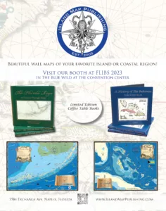
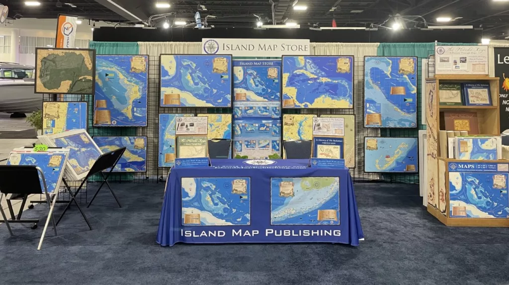
We would like to cordially invite you to attend the FLIBS (Fort Lauderdale International Boat Show) 2023 where we, Island Map Publishing (in association with Turrell, Hall & Associates, Inc.), will be exhibiting our maps and the following books: (1) The Florida Keys, A History Through Maps, (2) A History of the Bahamas Through Maps, (3) Naples Waterfront Changes In Time, written by Todd T. Turrell. There will also be a book signing event held on Saturday, October 28, from 12:00 p.m. until 4:00 p.m.
Island Map Publishing has performed coastal mapping covering most of the East and West coast of the US, i.e., from Maine to Texas and California to Washington State and even beyond all the way to Alaska. All maps are produced with a mix of sophisticated software, charts, aerials, and GIS in color and antique shades. The maps are carefully reviewed and edited by a local resident with intimate knowledge of the area. These highly informative and colorful maps are eye-catching on account of their accuracy and beauty and are available in various sizes and textures.
So far, we have already created over 100 amazing nautical decorative maps, featuring the Caribbean, the Bahamas, coastal Unites States, and the Great Lakes. In addition, we developed international maps, including New Zealand. These maps were created based on the style of real antique maps that we own from centuries back to the 1500s. All our maps feature incredible detail and magnificent color schemes providing visual interest, with new elements to discover with each passing glance. “It’s the little details that make a huge difference.”


