In keeping with our policy of visiting every region we make a map, I’m at the south end of Puget Sound in the Capital of Washington state, Olympia. Tacoma and Seattle are to the north with the San Juan Islands and Vancouver at the top. The Sound is a massive water body that consists of bays, inlets and deep north-south channels carved out by glaciers during the last ice age when a mile thick sheet of ice covered the area and scaped out the bottom as it moved.
Puget Sound is connected to, but protected from, the Pacific Ocean which makes it perfect for boating. I always visit local marinas for ideas on my trips and this proved to be the case with a couple things that might apply to marinas our firm (Turrell, Hall & Assoc) is designing. I’ve attached a couple marina photos of the area. As an Ocean engineer and the designer of marine facilities, I love to travel the world’s waterfronts and learn from them.
The coastal areas we map involve a lot of boating and driving and in this case helicopter flying as well. A rotor rating (helicopter) has been on my pilot’s list for decades, so I’m learning to fly an R-44 chopper which has essentially the same engine as my fixed wing plane, a C-210. Today we’re flying out to the Pacific coast of the Olympic peninsula around Westport and Ocean Shores. Then I’ll drive to the north tip of the Peninsula where Cape Flattery lighthouse marks the northwestern most point of the United States.
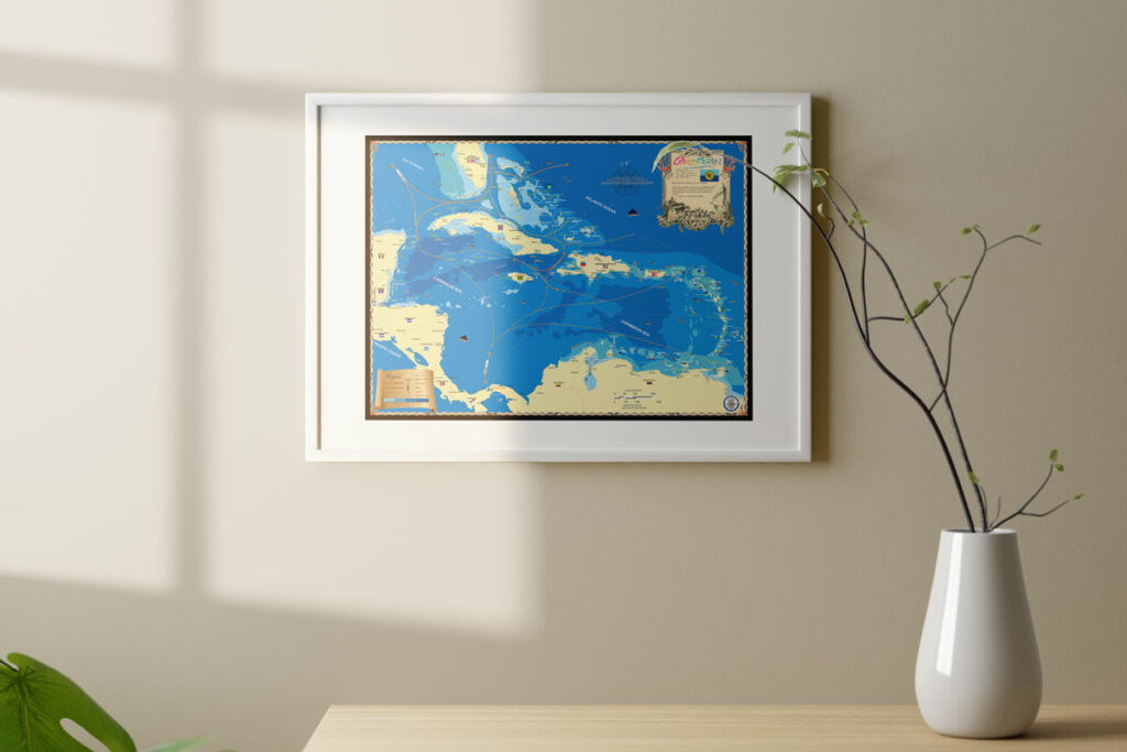
Flying around Puget Sound and the coast, along with a driving trip around the Olympic Peninsula to Victoria (Canada) and the San Juan Islands will help us produce a couple beautiful wall maps of the area, truly one of the most loveliest coasts in America! Meeting with locals along the way to critically review our maps is also an important part of the process. Cartography of our type is an art and we’ve gotten good at it over the years. When the next maps come out of the Pacific Northwest, we hope you’ll agree.


