When I first moved to Naples in the early 1980’s I fished a lot. My boat was frequently moored at Port of the Islands (POI) where I helped fix up the marina with the new owners. POI served as my launch point on fishing trips to the north, where you could get lunch in Goodland. Head south and you could find the best grouper sandwich and stone crabs Everglades City had to offer. In either case, it became routine to return from a trip with fresh fish for dinner, caught enroute to or from my lunch venues. Redfish were my favorite but Sea trout, Mangrove snapper, Sheepshead, Black drum and the occasional Pompano, Flounder, Grouper or small Blacktip shark were included.
As time went on, I ended up having jobs in Goodland and Everglades City. The production of engineering plans for my new waterfront projects led me to making maps of the area. A location map was required for the permit application to do work and a marina and/or shoreline map was needed as well. I took pride in my work and made the maps look crisp and attractive as well as informative. Over time I had so many people ask me for a blow-up of one map or another that the idea of making maps as a business occurred to me.
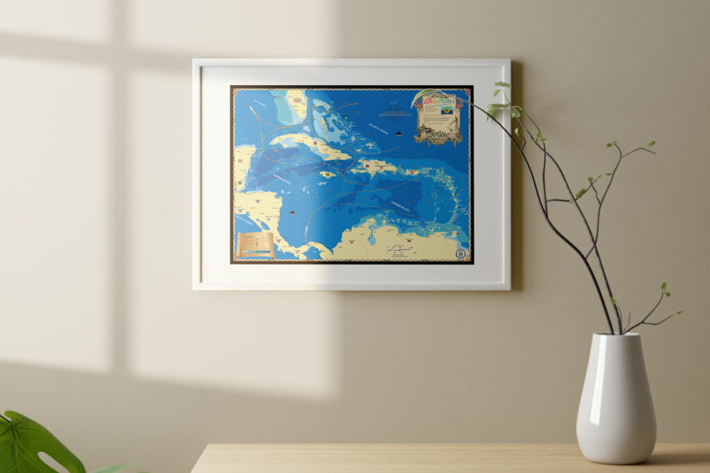
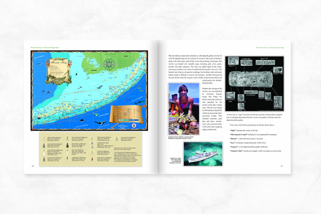
Fast forward thirty years and we now have made over a hundred coastal maps, running from Maine on the north Atlantic coast all the way to Texas on the Gulf of Mexico. We’ve done all the Caribbean up through the islands of the Bahamas and recently finished the coast of California. Summer 2023 we plan to cover the pacific N.W. and the waterway between Washington state and Alaska.
Funny how fishing in the 10,000 islands and Everglades led to a map collection we are so proud of.


