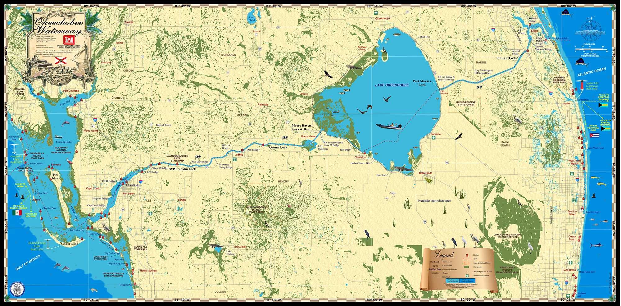
The Okeechobee Waterway connects Ft Myers, Florida on the Gulf of Mexico to Stuart, Fla on the Atlantic Ocean. Lake Okeechobee is in the middle with the Caloosahatchee River to the west and the St Lucie River to the east. These two rivers have been the focus of a fierce battle over water releases from the Lake which sends unwelcomed, nutrient rich water to estuaries on either coast.
I’ve been through the waterway from coast to coast many times and have always enjoyed the trip. We usually stop at Rowland Martin’s bass resort for the night, which has good catfish and country food along with a band on the weekends when we’re often crossing. There are three locks on the west side of the lake and two on the east side. Going through the locks is easy if you pay attention.
Our company Island Map Publishing made what might be the first, nice wall map ever of the Okeechobee Waterway. We did this to commemorate the waterway for the many boaters who navigate through. It’s an interesting trip and one you’ll never forget if you get the chance. The map shows the locks, the lake and the rivers at either end in a colorful and informative manner which any boater will enjoy.