Something I take for granted is flying to the Bahamas in my plane and boating there in either a rental or our live-aboard dive boat which we kept for 13 years. I sorely miss the latter, Gone Astray/Naples, which now appears regularly on the TV show ‘Shark Week’ as Gone Astray/Bimini, where we sold it to shark dive operator. Taking off from Florida and flying over brilliant blue waters of the Bahamas has never grown old, though I’ve done it nearly a thousand times as part of my 6,000 hours logged as a pilot.
I’ve been flying in the Bahamas since 1977 when I was 20 and knew little about what I was doing. We flew to Eleuthera where we saw a group of giant bluefin tuna underwater in Current Cut and dove on the wall in San Salvador. After meeting some French girls on Harbour Island doing a magazine shoot for “Oui” magazine, we were hooked! A couple years later I showed up at Florida Atlantic University to earn a degree in Ocean Engineering. After renting a plane there a few times they told me there was an opening for a new flight instructor, would I like it? Shocked, I said I wasn’t qualified, but they said we’ll teach you. By then I’d accumulated some 500 hours of flight time and had a commercial license with instrument and multi engine ratings. After months of training, I started teaching, the best part of which was having access to planes in the fleet for only the cost of fuel. This led to many weekend Bahamas trips with classmates and friends.
Today I still fly throughout the Bahamas and have landed on every commercial strip in the country and many private ones. My engineering practice has taken me to all of the major islands for work, so I’ve not only vacationed on 20+ islands, but I’ve also worked on them which provided a keen understanding since I always study the history of places we work. There are dozens of other islands I’ve visited amongst some 700 islands in the country. Our boat Gone Astray took us diving in every major island group except for Great Inagua.
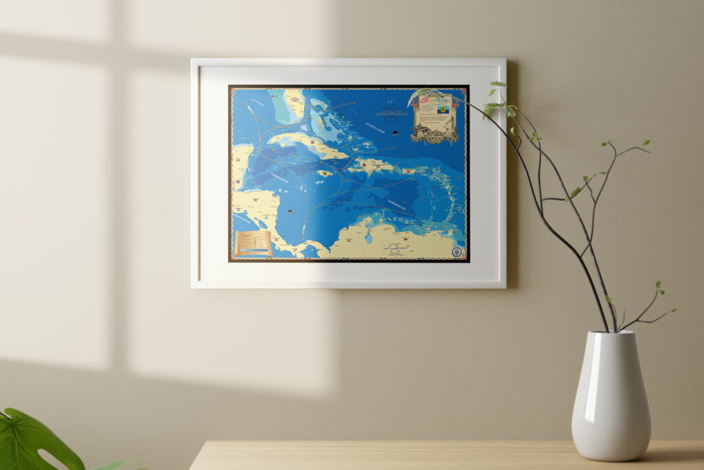
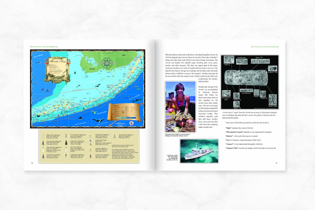
A decade or so ago I published a history book with old maps on Naples, Fla where I live. My Bahamian friends were soon asking if I’d do one for their country since I seemed to know more about the country, history wise, than they did or cared to! This all led to my book A History of the Bahamas Through Maps which includes custom maps we made of all the major islands and island groups such as the Exumas and Abacos. Our maps now hang in the Prime Minister’s office and at customs facilities and resorts throughout the islands. The book sits on the coffee table of hundreds of waterfront homes and boats.
If you like beautiful clear waters, unspoiled beaches and friendly people you should try the Bahamas, especially the outer “Family Islands” unless you like gambling and night life which Nassau offers. It’s my second home and no matter how many times I do it, flying there and getting on a boat and swimming the water is always a joy.


