I love Crooked and Acklins, they’re two of my favorite islands in the Bahamas, primarily because they’re remote and pristine with untouched beaches, reefs and landforms to explore. The natives there are always happy to have you visit and they’ll help you in any way possible. The reality is these islands are struggling population wise, the young people move away for better opportunities and over the last century populations have plummeted. There are a fewer commercial flights each week from Nassau but a real problem is the lack of safe harbours where the mail boat can land in rough weather. Mailboats deliver most of the building supplies, food and other things the islanders need. I did a study for the Bahamas Maritime Authority years ago pointing this deficiency out for the southern Bahamas in general, safe harbours would also attract cruising and fishing yachts which themselves could make a big difference for the islanders.
The Crooked and Acklins Island group includes Long Cay, all surrounding the Bight of Acklins, a protected lagoon miles across full of conch and bonefish. The islands are bordered to the west by the Crooked Island Passage, an international shipping route. It was here that Hurricane Joaquin turned into a Category 4 hurricane in 2015 sinking the El Faro, a large freighter some 800 feet long with thirty-three lives lost. I found what we believe to be the radar mast to the ship on a remote beach in Acklins, we turned the photos and story over to the US Navy who had earlier found the remains of the ship 15,000 feet deep north of Crooked.
Crooked is the fourth island Christopher Columbus visited when he “discovered” America in 1492. He named it “Isabella” after Spain’s Queen and loved the fragrant scent of its vegetation as he anchored offshore. Crooked Island has the distinction of housing the first General Post Office in The Bahamas. Remnants of the original building are incorporated into the resort at Pittstown Point where Crooked’s first proper marina has recently opened, our boat will be visiting for sure! Pittstown hosted a British Army outpost in the 1800s with guns that fired on American schooners during the War of 1812. At the turn of the 20th Century Long Cay (then known as Fortune Island) was an international shipping destination where crews would rotate off vessels and cargos could be exchanged. It’s hard to believe this fact, but there’s still old streetlights to remind you.
There are two beautiful lighthouses, one at the northwest tip of Crooked Island just off Pittstown Point, Bird Rock Lighthouse built in 1876. The other is just southwest of Acklins, Castle Island Light built in 1868 near Mira Por Vos in a breathtaking group of small islands.
The area is vast and remote, but friendly natives will welcome you as they have me my friends for many years.
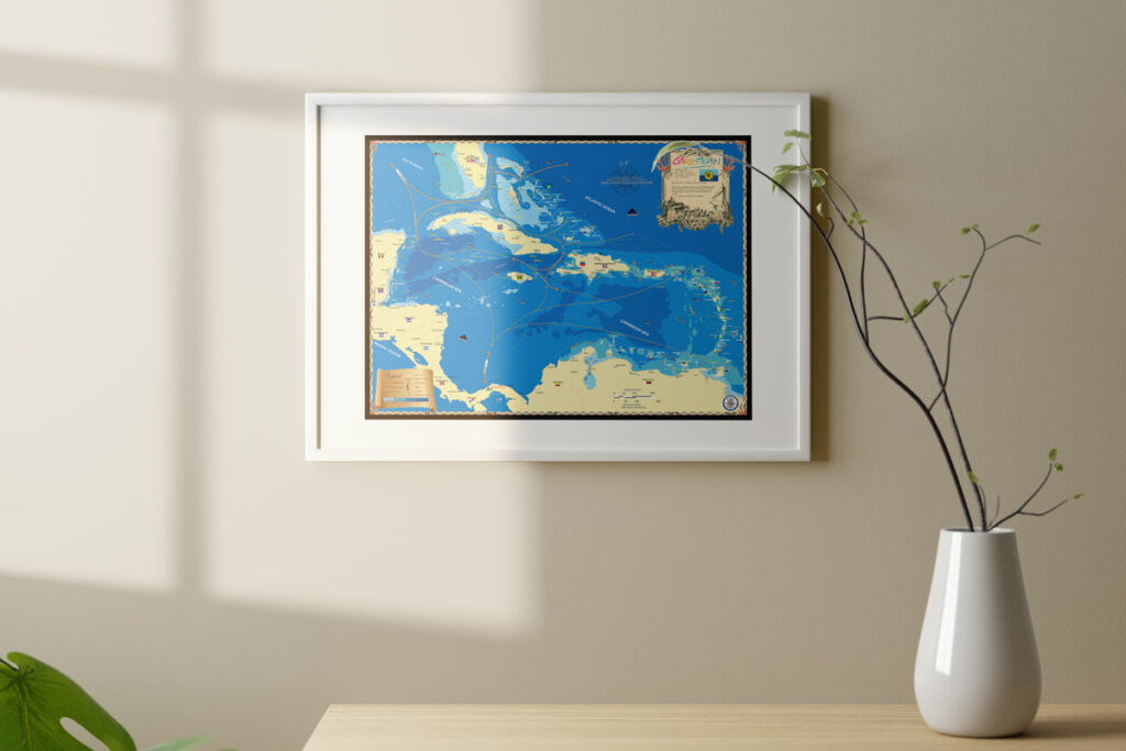
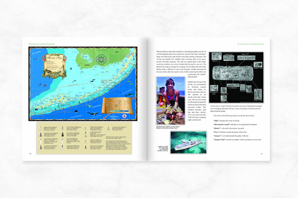
For more history on The Bahamas check out our website and The Bahamas A History Through Maps! We also offer decorative maps of the The Bahamas, Naples, the Florida Keys and the Caribbean. Give us a call at 239-963-3497 with any questions, we will be happy to help!


