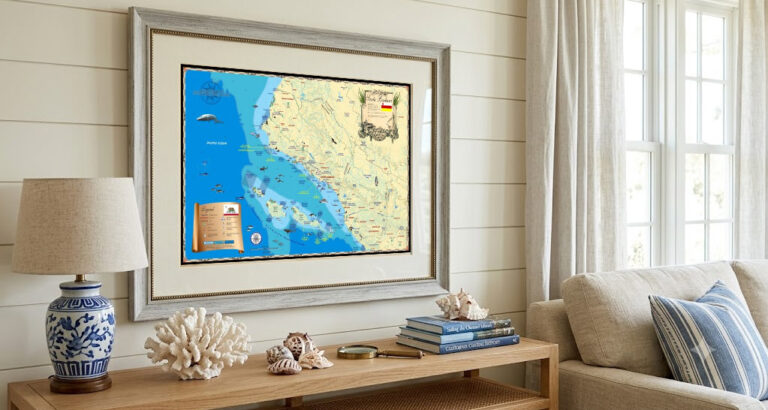
Pacific Coast Nautical Maps: Bring the Beauty of the West Coast Into Your Home
From the rugged cliffs of Washington to the sun-drenched shores of Southern California, the Pacific Coast is home to some of North America’s most iconic
From the rugged cliffs of Washington to the sun-drenched shores of Southern California, the Pacific Coast is home to some of North America’s most iconic
From the rugged cliffs of Washington to the sun-drenched shores of Southern California, the Pacific Coast is home to some of North America’s most iconic
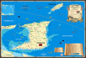
Trinidad and Tobago is a twin-island nation located in the southern Caribbean. The two islands are separated by a short distance of about 20 miles
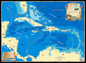
There’s a unique group of Islands in the southern Caribbean known as the ABC islands; Aruba, Bonaire and Curaçao. They’re featured in our detailed nautical
The ABC Islands are a group of three Caribbean islands located in the southern part of the Caribbean Sea, just north of the coast of
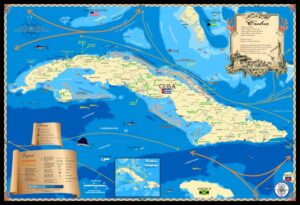
I’ve been lucky to have visited Cuba a number of times and traveled the coast visiting old towns and marinas that “once were”. My purpose
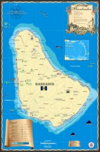
The Island Map Store’s Barbados map was made several years ago along with other islands in the lower Caribbean. When I pass through the area,
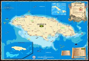
I’ve always enjoyed Jamaica since working there in the late 1980s and 90s. When Hurricane Gilbert mashed up the island in 1988 I went down

If you’re someone who finds meaning in every tide, every shoreline detail, and every chapter of a city’s story—then the Naples collection at Island Map

At Island Map Store, we specialize in creating highly detailed, visually striking maps—perfect for decorating your home, gifting, or exploring the world’s most beautiful coastlines.

Creating maps of the Florida Keys opened my eyes to what a vast place it really is considering all the islands, reefs, waterways, lighthouses and
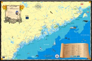
After nearly 20 years of making modern wall maps of the United States coastline, we’re proud to announce the completion of our collection covering the entire, contiguous,

We would like to cordially invite you to attend the FLIBS (Fort Lauderdale International Boat Show) 2023 where we, Island Map Publishing (in association with

In keeping with our policy of visiting every region we make a map, I’m at the south end of Puget Sound in the Capital of