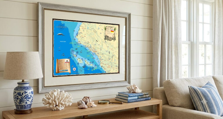
Pacific Coast Nautical Maps: Bring the Beauty of the West Coast Into Your Home
From the rugged cliffs of Washington to the sun-drenched shores of Southern California, the Pacific Coast is home to some of North America’s most iconic
From the rugged cliffs of Washington to the sun-drenched shores of Southern California, the Pacific Coast is home to some of North America’s most iconic
From the rugged cliffs of Washington to the sun-drenched shores of Southern California, the Pacific Coast is home to some of North America’s most iconic

If you’re someone who finds meaning in every tide, every shoreline detail, and every chapter of a city’s story—then the Naples collection at Island Map

At Island Map Store, we specialize in creating highly detailed, visually striking maps—perfect for decorating your home, gifting, or exploring the world’s most beautiful coastlines.

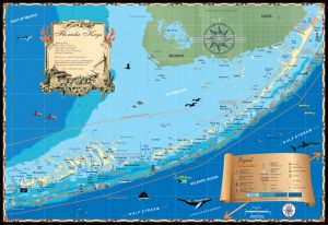
Creating maps of the Florida Keys opened my eyes to what a vast place it really is considering all the islands, reefs, waterways, lighthouses and
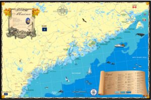
After nearly 20 years of making modern wall maps of the United States coastline, we’re proud to announce the completion of our collection covering the entire, contiguous,

We would like to cordially invite you to attend the FLIBS (Fort Lauderdale International Boat Show) 2023 where we, Island Map Publishing (in association with

In keeping with our policy of visiting every region we make a map, I’m at the south end of Puget Sound in the Capital of
Island Map Publishing is a small company I started years ago since clients of our Marine & Environmental services company liked the maps we produced
Long Island has to be the “longest” true island on the eastern seaboard of the U.S. I’m from Florida, so here are some comparisons: Long
The Outer Banks is arguably the most famous string of barrier islands in the United States. The archipelago runs from south of the Chesapeake Bay
With every map we make at Island Map Publishing, I physically go to the area being drawn to meet with locals introduced through a network
I often give talks on history using antique maps as props. The maps are usually from my collection or from friends who are true map
Years ago I put an ad out for a partnership interest in my plane, a high performance Cessna 210 (6 passenger, 200 mph, retractable gear).